As everyone gets into the festive spirit, we wanted to share some quick updates and reminders with y...

As everyone gets into the festive spirit, we wanted to share some quick updates and reminders with y...
In architecture, efficiency and accuracy aren’t just desirable, they’re essential. Every project dem...
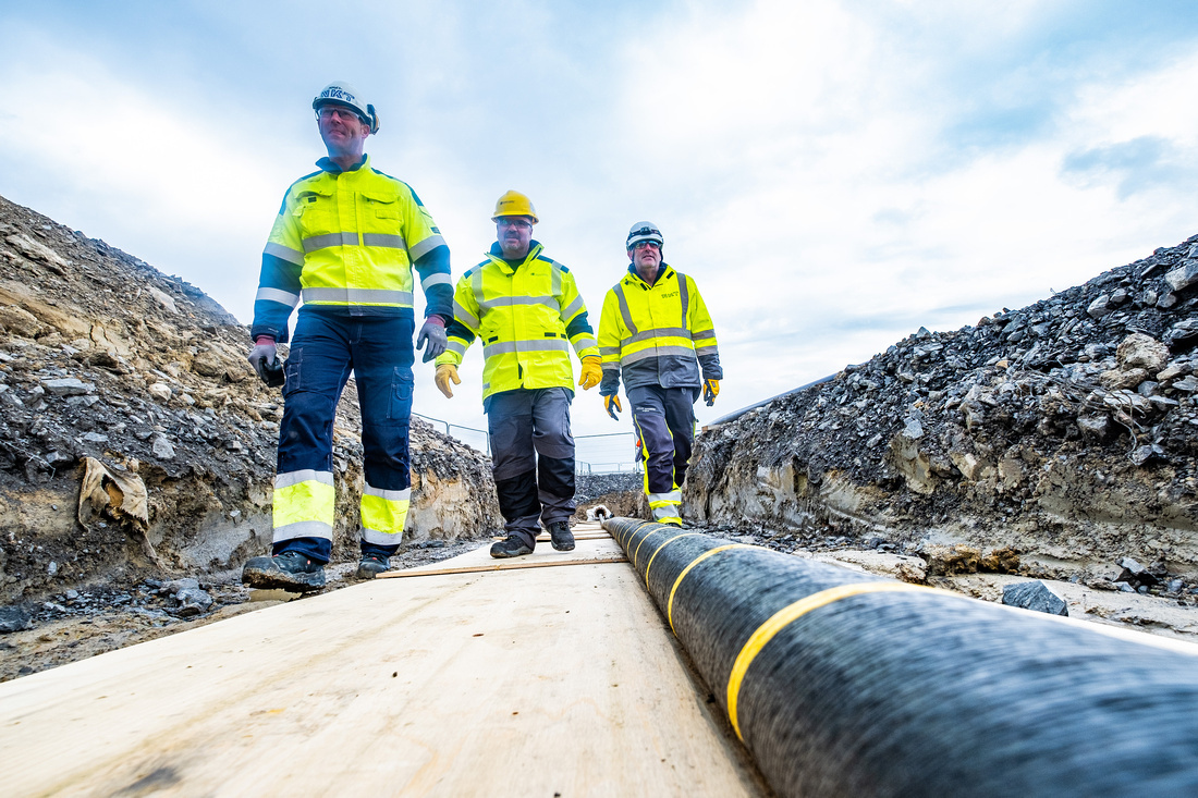
As the demand for robust engineering projects continues to rise, the need for advanced tools and tec...
In the dynamic world of property transactions, time is of the essence. Whether you’re a developer, i...
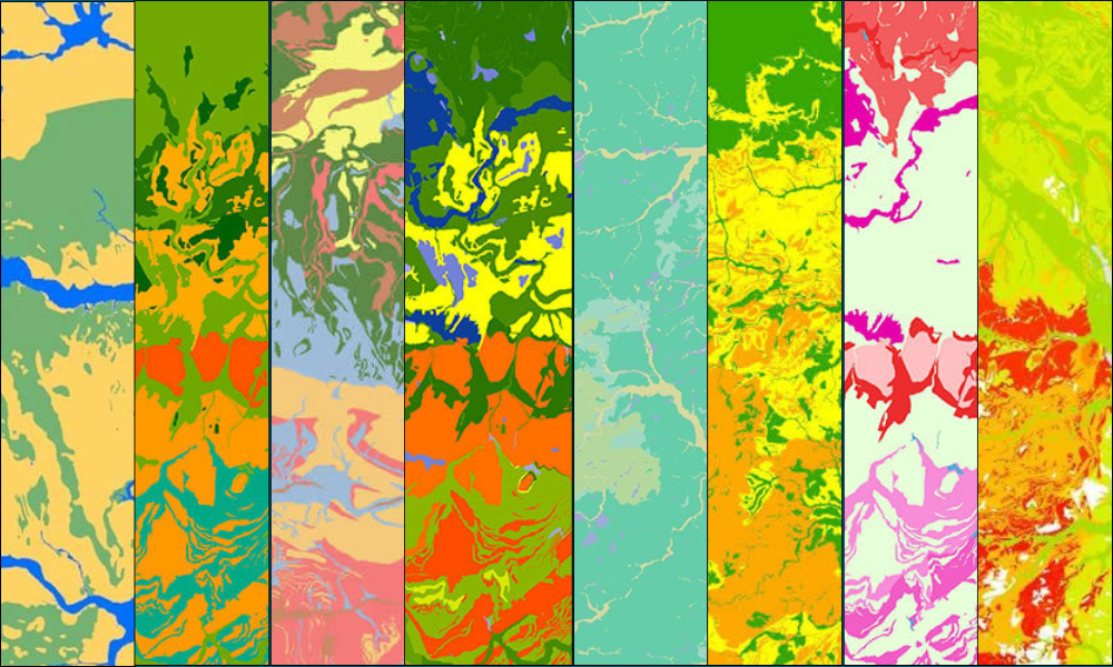
As climate change continues to reshape the built environment, integrating flood-risk assessment at e...
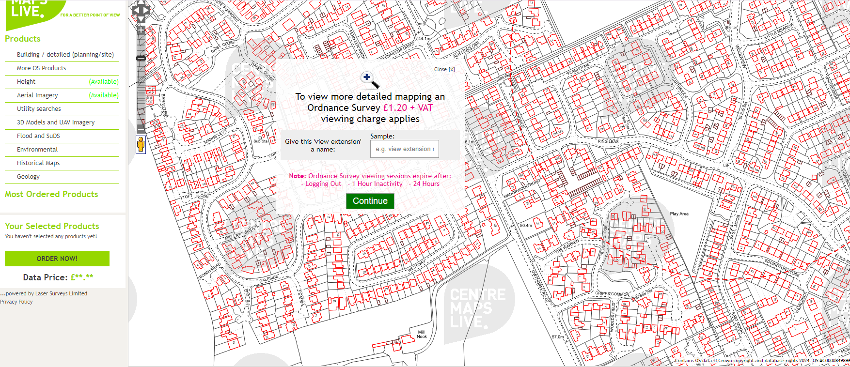
At CentremapsLive, we offer a feature called viewing credit, designed to enhance your mapping experi...

I have read recently that acronyms are generally bad because people don’t understand what they mean ...
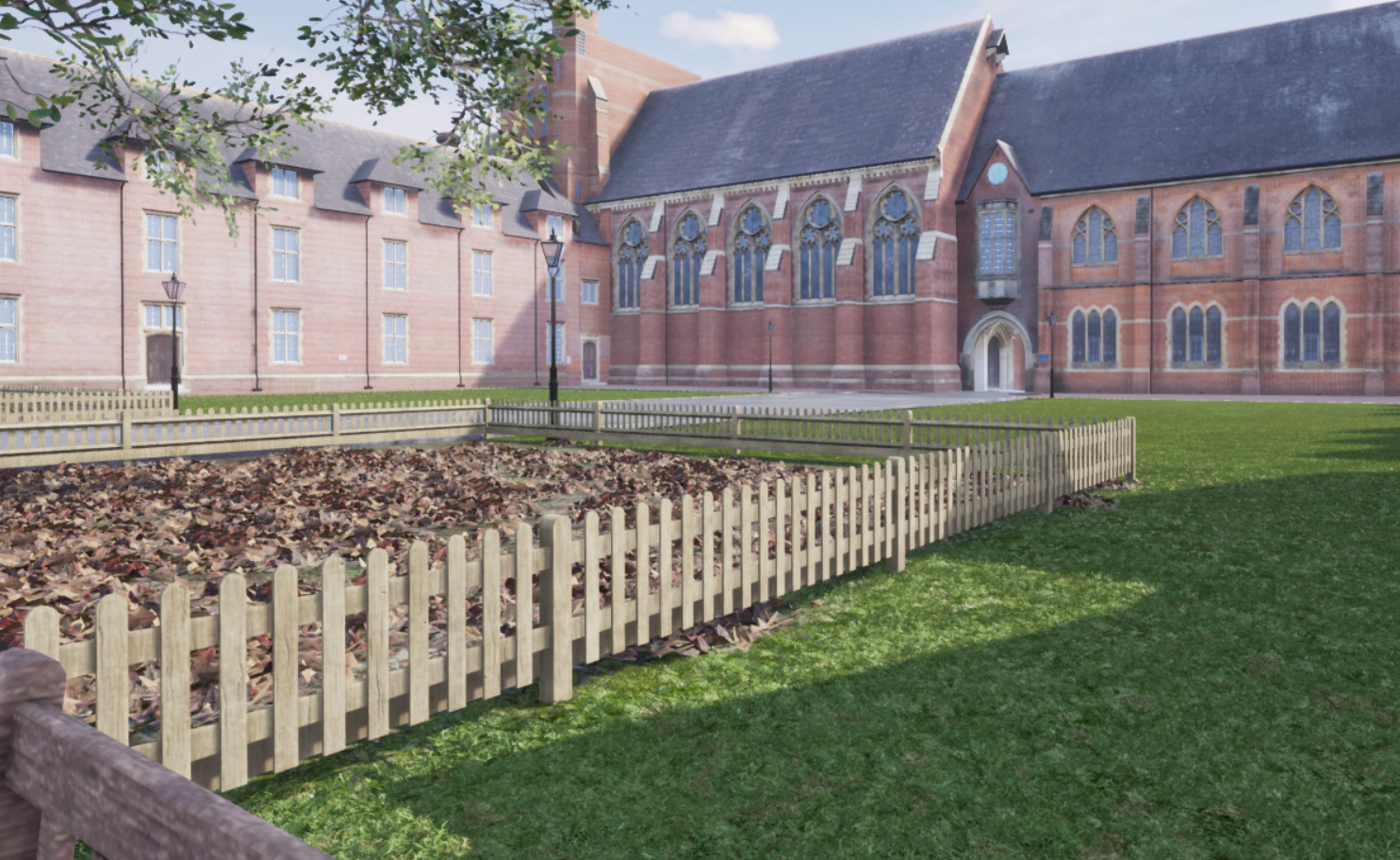
As cities continue to expand vertically and horizontally, urban planners, architects and developers ...

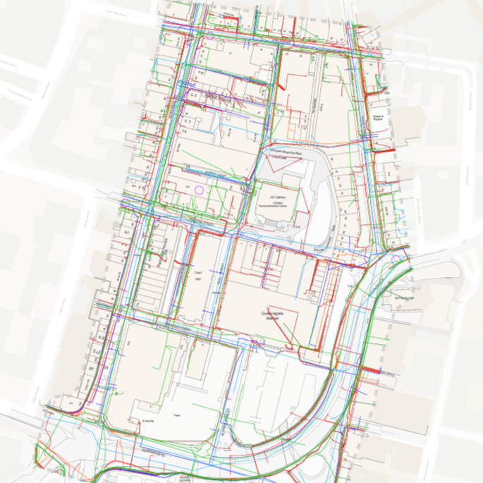
At CentremapsLive, we pride ourselves on providing cutting-edge geospatial solutions to our clients....
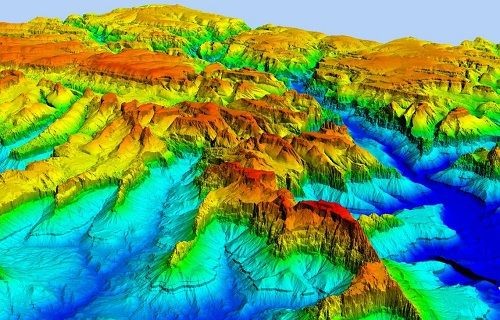
LiDAR (Light Detection and Ranging) technology has revolutionised the way we perceive and analyse ou...